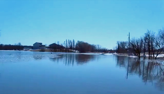
The Hydrologic Forecast Centre of Manitoba Infrastructure reports the updated flood forecast suggests a Red River flood of a magnitude higher than 2009 with normal or average weather conditions.
Heavy snows have fallen in the northern United States and across the Red River Valley. The Assiniboine River system will see limited flooding, so the focus at this time is on the Red River and its tributaries, as they will see substantial flooding.
With favourable weather, the flood forecast at this stage indicates the Red would rise to 2011 flood levels. With unfavourable weather conditions, water levels will be higher than 2009 levels by almost one foot at Emerson and by 1.5 feet at Ste. Agathe and reach 22 feet at James Avenue in the City of Winnipeg.
Flood water levels will depend on rate of snow melt, snow and rain accumulation over the coming weeks.
Government preparations include:
- working with local governments in the valley and the City of Winnipeg;
- working with the federal government to ensure the safety of Indigenous communities in the valley;
- preparing to support municipal evacuations if needed;
- assembling teams to work with farmers to move livestock out of the impacted area; and
- preparing for closures of community ring dikes, road closures and acquiring additional inventory of flood protection equipment.
Community ring dikes and the majority of individual flood protection works are at 1997 plus two feet (61 cm) levels. As well, $800 million in permanent flood proofing measures are in place, including $630 million worth of completed improvements on the Red River Floodway expansion and West Dike construction.
The province will continue to issue regular updates, with a fully updated flood outlook to be presented in the coming days.


