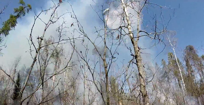
Manitoba Conservation and Climate advises that with the fire risk being high to extreme across much of the province, additional fire and travel restrictions and an immediate ban on campfires are being implemented to ensure the safety of Manitobans and the prevention of new fire starts. There are drought conditions across much of southern Manitoba, which can allow wildfires to spread out of control quickly and challenge the ability to fight multiple fires at the same time. Human-caused fires are preventable and put people and communities unnecessarily at risk.
Level 2 Fire and Travel Restrictions are now in place for Areas 1, 2, 3, 4, 5, 6, 7, 8 and 9 as well as the Mars Hill and Lauder Sandhills Wildlife Management Areas and includes all provincial parks south of the 53rd parallel, which includes all provincial parks south of Grand Rapids and Easterville.
Eastern (Areas 1 to 4)
- PR 302 at the U.S. border north to PTH 12 and along the eastern shore of Lake Winnipeg to Poplar River and all the way east to the Ontario border. This also includes the Mars Hills Wildlife Management Area
Interlake (Area 5)
- West Boundary – PTH 6, Lake St. Martin/Dogskin River
- North Boundary – Dauphin River to Berens River
- East Boundary – Lake Winnipeg (east shore)
- South Boundary – PR 325 to PR 234 to PTH 8 (including Hecla and Black Islands)
Southwest (Areas 6 and 7)
- Turtle Mountain Provincial Park, Provincial Forest and Periphery area
- Spruce woods Provincial Park, Provincial Forest and periphery area
- Lauderhills Wildlife Management Area
Western (Area 8 and 9)
- West Boundary – PTH 10 and PR 268
- North Boundary – Lake Winnipegosis (north shore) to PR 327 to Cedar Lake (south shore) to Lake Winnipeg (north shore)
East Boundary – Lake Winnipeg (east shore) - South Boundary – PR 271 to Lake Winnipegosis (south Shore) to Lake Manitoba (north shore) to Lake St. Martin/Dauphin River and Dauphin River
- Duck Mountains Provincial Forest and Provincial Park.
Manitobans can refer to the Province’s Fire and Travel Restrictions map and confirm area restrictions before heading outdoors at gov.mb.ca.
Level 2 travel restrictions include the following:
- motorized backcountry travel, including ATVs and other off road vehicles, is prohibited unless under the authority of a travel permit;
- camping is restricted to developed campgrounds;
- campfires are prohibited;
- wayside parks remain open;
- landing and launching is restricted to developed shorelines only; and
- industry and outfitters should contact local Conservation and Climate offices for more information.
In addition, effective immediately in all provincial parks south of the 53rd parallel all backcountry trails and water routes are closed to public access until further notice including hiking, equestrian, mountain biking and motorized vehicles. Limited trails within developed front-country campgrounds and town sites remain open for pedestrian access. The Toniata seasonal campground in the Whiteshell Provincial Park along with the Equestrian and Canoe Landing campgrounds in Spruce Woods Provincial Park are also closed. See manitobaparks.com for a full list of trail closures.
The province has also cancelled and restricted issuing provincial burning permits for Areas 1, 2, 3, 4, 5, 6, 7, 8 and 9. Many municipalities have already proactively implemented burning restrictions this spring, so also check with local municipal offices for more information or view the interactive Current Municipal Burning Restrictions map at manitoba.ca. Manitoba will not issue any provincial burning permits within or areas bordering any municipality where the burning restrictions are already in place.
For further information on Manitoba Wildfire Service, situation updates, restrictions, and other important wildfire links go to gov.mb.ca.
To report a wildfire, call 911 or the T.I.P. line (toll-free) at 1-800-782-0076.


