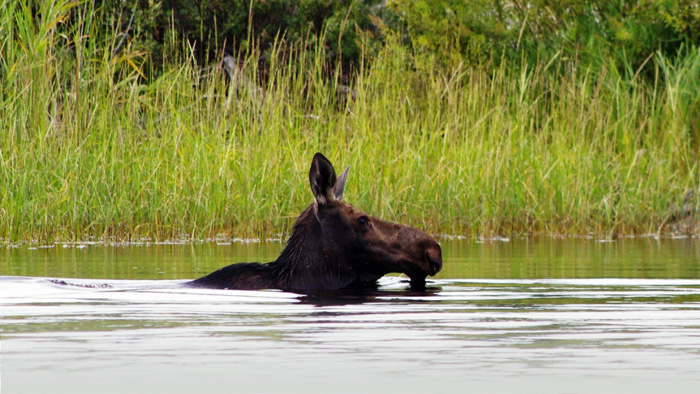
As the 2022 Big Game Survey Program begins, the Manitoba government is taking a modern approach to wildlife population assessments. Fixed-wing drones, planes with infrared and visual imaging cameras will provide more data and better wildlife management.
“Our government recognizes the importance of scientific data in effective wildlife management,” said Natural Resources and Northern Development Minister Scott Fielding. “Over the next month we will be conducting aerial surveys of selected game hunting areas using modern survey methods to collect more and better wildlife data.”
The Fish and Wildlife Branch collects a variety of information to help manage big game populations in the province. Aerial population surveys is one method, which traditionally has used staff, a helicopter and a stratified random block method to focus on a single big game species in a hunting area.
Owyhee Air Research, experts in technology-led wildlife surveillance, will conduct the first survey project using infrared technology and fixed-wing aircraft to assess populations for a variety of species for Game Hunting Areas (GHA) 30 and portions of GHA 22. Sex and age classification and other wildlife occurrences of interest will also be recorded and geo-referenced. This project is funded in part by the Fish and Wildlife Enhancement Fund.
The second survey project is a collaboration with Superwake Ltd. and Ryerson University to survey a portion of GHA 6A. This pilot project will test the use of a fixed-wing drone equipped with infrared and Red-Green-Blue (RGB) sensor cameras, a first for North American wildlife management. Several big game species will be recorded including sex and age classification. A portion of GHA 6A will be surveyed to test the effectiveness of this new technique.
The minister noted traditional survey methods are costly, time-consuming and require a team of staff to execute. With modern technology, we can collect better data in a more efficient manner to support the critical work of wildlife management.


